 |
 |
|
|
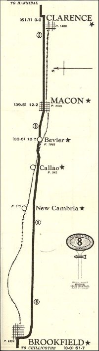
The route stayed fairly constant over the years in Missouri, with some straightening and routing around towns by 1926. Compare the route between Bevier and Brookfield, for example with older maps on the NHA website: the 1926 route avoided Callao and New Cambria and smoothed out the many 90 degree turns in the old route. The 1926 route is closer to the current routing of US 36. There are several old alignments still driveable in Missouri, if you keep your eyes open (or cheat with a detailed atlas...)
|
|
|
|
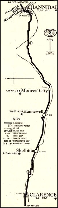
Hannibal to Clarence
|
Clarence to Brookfield
|
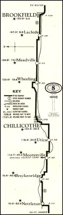
Brookfield to Nettleton
|
|
|
|
|
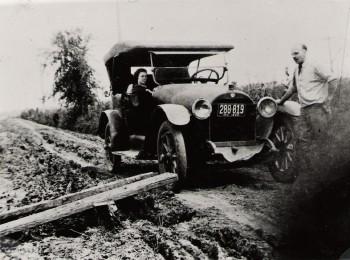
Horse cart pulling a car out, c. 1918. (photo courtesy of Jayne Roberts, Callao, MO) |
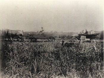
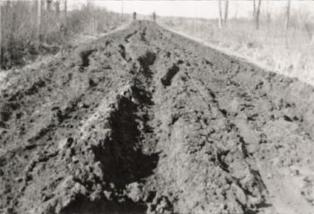
Why you might need a horse to pull you out: road conditions on the PPOO! (photo courtesy of Jayne Roberts, Callao, MO) |
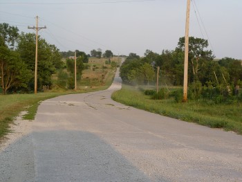
PPOO route west of Chillicothe, south of US 36, with old pavement (2003). |
|
|
|
|
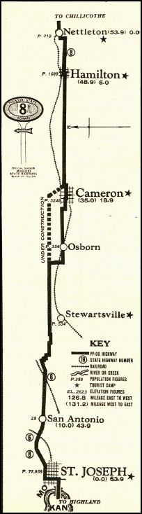
Nettleton to St.. Joseph. Note that Cameron is soon to be bypassed. |
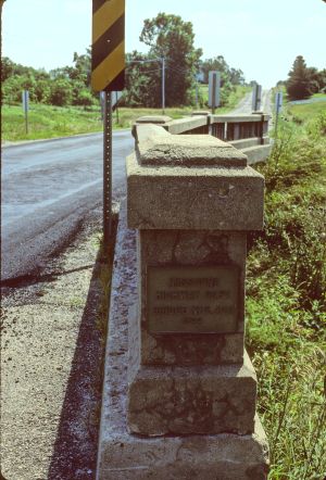
1922 bridge on old PPOO alignment, west of Hamilton (1995). |
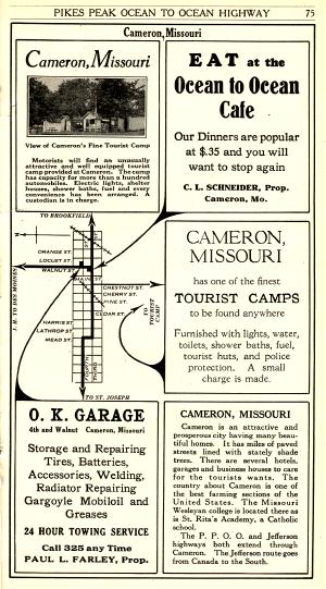
Cameron, MO advertisements, with photo of their "Fine Tourist Camp". |
Back to the Illinois page
On to the Kansas page
Back to the PPOO page
Photos copyright R. Martin - please get permission to use
rfm -at- prairienet.org (Rick Martin)